FORECAST HIGHLIGHTS
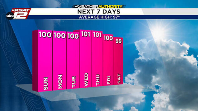
- STEADILY HOT: Another day at 100°+
- THURSDAY: Isolated to widely scattered storms by afternoon
- GRASSFIRES: Two large fires in Central/North Texas
FORECAST
NO CHANGE TODAY
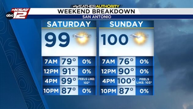
Our consecutive streak of triple digit days will rise to 9 today, with a high near 102°. The heat index will rise to 102-104° during the early afternoon hours.
THURSDAY’S STORM CHANCES
We are cautiously optimistic about pop-up storms on Thursday. Energy moving north to south across the area should touch off some showers and storms. The main window, as it often is, will be between the hours of 2pm and 8pm. We have raised rain chances to 30%. Still, know that it’ll be the luck of the draw and most of us will stay dry.
What does that mean for the first night of high school football? Only that we’ll have to watch for the off-chance that we see lightning near one of the games. The storms should be brief, so any disruption would be minimal.

WILFIRE THREAT
It was a busy day Monday for grassfires in North Texas. Two major fires are still burning, while fire conditions will deteriorate later today. The greatest risk for wildfires today will once again be across North Texas.

QUICK WEATHER LINKS
- WATCH LIVE: Doppler Radar
- Hourly and 10-Day Forecast
- Download FREE KSAT Weather Authority App: Up-to-date forecast information and livestreams from trusted local meteorologists.
- KSAT Connect: Share your weather photos.