Two hurricanes could form in the Gulf of Mexico next week, and one storm is heading toward Texas
Sign up for The Brief, our daily newsletter that keeps readers up to speed on the most essential Texas news.
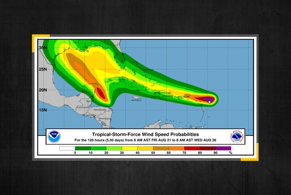
Two storms heading toward the Gulf of Mexico could become hurricanes at roughly the same time in what could be a historic first. And while they could interact with each other, only one of the storms is likely to have a notable impact on Texas next week, meteorologists say.
While Tropical Storm Laura isn’t expected to affect Texas, Tropical Depression 14 is forecasted to intensify briefly into a hurricane and then weaken into a tropical storm before making landfall early Tuesday somewhere near the Texas-Louisiana border, said Josh Lichter, meteorologist for the Houston/Galveston office of the National Weather Service. Tropical Depression 14 will likely eventually be named Marco.
The tropical depression is predicted to strengthen as it moves through the northwestern Caribbean Sea on Saturday, and it is expected to be near or at hurricane strength when it reaches the east coast of Mexico late Saturday, according to the National Hurricane Center. A hurricane watch and a tropical storm warning are in effect for those areas.
Galveston and Brazoria counties, southern Harris County and the southern Houston area could see the biggest impact in terms of rainfall and storm surges, Lichter said.
Coastal areas are forecasted to see 4 to 6 inches of rain and up to 50 mph winds, although Lichter said those numbers are “very subject to change.”
“The Galveston Bay area to Lake Charles, [Louisiana], area right now looks like it may have the main impact,” he said, noting that if the storm begins to fall apart off the coast, only coastal areas will be impacted.
Lichter contrasted the potential hurricane with Hurricane Hanna, the first hurricane of the 2020 Atlantic hurricane season. While Hanna was projected to get stronger right before it made landfall, Tropical Depression 14 is projected to get weaker, meaning there could be a less severe impact. However, he added that it’s too early to tell and forecasts will continually be updated as the weekend approaches.
Hurricane Hanna dropped at least 15 inches of rain on parts of South Texas, causing flooding and thousands of power outages.
Lichter said there’s no reason to panic right now, but it’s a good time for people in those areas to calmly prepare and buy any supplies they may need.
Tropical Storm Laura is expected to move toward the eastern Gulf of Mexico before making landfall and should not have a major impact on Texas, he said. If both storms become hurricanes in close proximity, they may interact, and they could impact each other’s velocity, although it’s uncertain how at the moment. Models are changing every six hours, he said.
“They’re not going to pass over the same location and give you a double hit if that’s what people are concerned about,” he said. “You’re not going to have two hurricanes stay hurricanes if they start rotating around each other.”
These storms come in an unusually active hurricane season, with much warmer sea surface waters than usual. Colorado State University, known for its seasonal forecasts, warns of an “extremely active” hurricane season, with a projected 24 named storms for 2020. Half of those storms are expected to become hurricanes.