WATCH LIVE RADAR IN VIDEO ABOVE
The tornado warning for portions of Kinney county has expired. While a funnel cloud was previously reported, recent radar data indicates the circulation has weakened.
FORECAST HIGHLIGHTS
- PERIODS OF RAIN: Today and Friday. Intermittent, mainly light.
-
- IMPACT: Wet roads, interruptions to after school activities
- HALLOWEEN: Likely comfortable and dry for trick-or-treating
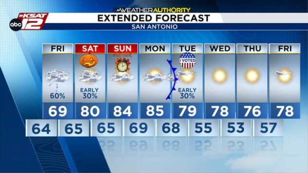
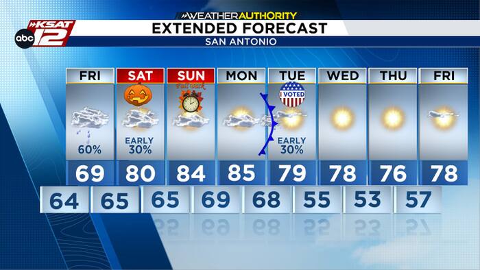
- COLD FRONT: Arrives Tuesday morning
FORECAST
Showers will continue to come and go tonight and tomorrow. Most of it light in nature with little to no lightning/thunder. Additional rainfall of less than an inch is expected around San Antonio, but pockets of 2″-6″ are possible closer to the Rio Grande and areas west of San Antonio where localized flash flooding is possible (see map).


HALLOWEEN UPDATE
Only an isolated shower or two is expected on Halloween (20-30%), and that would most likely be in the first half of the day. Chances are good that trick-or-treating will be dry with pleasant temperatures.

TUESDAY MORNING COLD FRONT
A weak cold front will sweep through Tuesday morning. A fast-moving, broken line of storms may develop along the front very early Tuesday morning, but most of the day will be sunny and windy. Mornings next week will be in the 50s with afternoons in the 70s.

QUICK WEATHER LINKS
- WATCH LIVE: Doppler Radar
- Hourly and 10-Day Forecast
- Download FREE KSAT Weather Authority App: Up-to-date forecast information and livestreams from trusted local meteorologists.
- KSAT Connect: Share your weather photos.