FORECAST HIGHLIGHTS
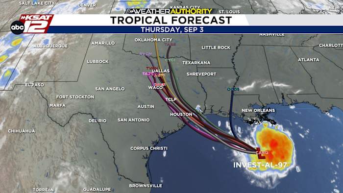
- GULF SYSTEM: Could become a tropical depression or brief tropical storm
- IMPACTS: Narrow corridor of rain for far East Texas, little to no impacts in SA
- STAYING HOT: Unfortunately, temps stay hot
FORECAST
GULF SYSTEM
A small system in the Gulf, currently located south of New Orleans, could briefly organize into a tropical depression or weak tropical storm. The footprint of this system will be small. Models are now in good agreement of a landfall east of Houston near Beaumont on Tuesday. It will produce a narrow corridor of rainfall. Any significant rainfall will stay well east of San Antonio and in fact, we may not see anything at all. Those along the coastal plains could see a stray shower.

HOT & DRY
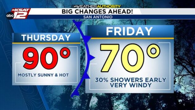
That means this week will be quiet. Temperatures will stay steady in the upper-90s to near 100. Humidity during the afternoon hours will drop, meaning heat index values will not be too extreme. That said, temps are forecast to remain above average.

ANY RELIEF?
Not in the short term. But there are signs that the heat high, which has plagued us most of August may shift away by mid-September. Stay tuned.
QUICK WEATHER LINKS
- WATCH LIVE: Doppler Radar
- Hourly and 10-Day Forecast
- Download FREE KSAT Weather Authority App: Up-to-date forecast information and livestreams from trusted local meteorologists.
- KSAT Connect: Share your weather photos.