FORECAST HIGHLIGHTS
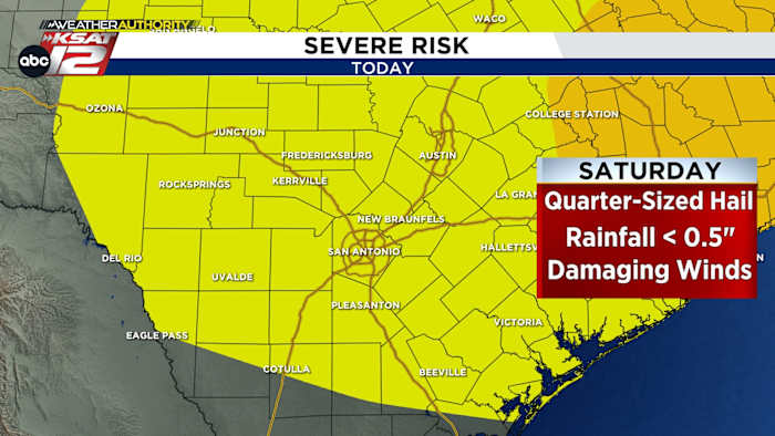
- VALENTINE’ S DAY: AM Drizzle, PM storms 2-6pm
- IMPACTS: Gusty winds & quarter hail with any storms
- TOTALS: Minimal, up to 0.50″
- EXTENDED: Warm & pleasant near 80s
FORECAST
VALENTINE’S DAY
Light drizzle and showers are expected in the morning as moisture builds in. By mid-afternoon, a fast-moving line of storms will sweep west to east between 2 p.m. and 6 p.m.

While most storms will be routine, one or two could briefly turn strong, producing gusty winds and quarter-sized hail. Rainfall amounts will be on the low side, with most locations picking up a quarter-inch or less.
Some communities may see little to no rain. Behind the line, skies will clear and conditions turn breezy by early evening. Temperatures cool slightly, but expect clearing skies by around 7 p.m.
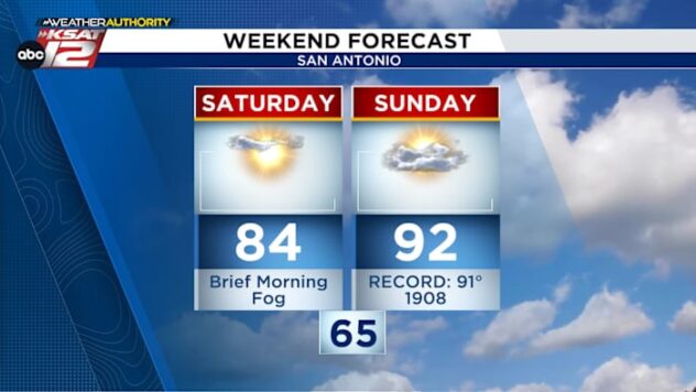
LONGER WEEKEND
Sunday brings a return to sunshine and noticeably drier air. Gusty northwest winds will develop through the afternoon, but temperatures remain comfortable. Highs will land in the 70s on both Sunday and Monday, paired with pleasantly low humidity. Fire weather conditions may be elevated.

NEXT WEEK
Temperatures are expected to hover around 80 degrees, with a mix of sun and clouds and no significant rain chances in sight.

QUICK WEATHER LINKS
- WATCH LIVE: Doppler Radar
- Hourly and 10-Day Forecast
- Download FREE KSAT Weather Authority App: Up-to-date forecast information and livestreams from trusted local meteorologists.
- KSAT Connect: Share your weather photos.