Sign up for The Brief, The Texas Tribune’s daily newsletter that keeps readers up to speed on the most essential Texas news.
Tropical Storm Beryl is expected to make landfall near Matagorda as a Category 1 hurricane early Monday morning, according to the National Weather Service.
Dangerous winds will be felt along the mid- and lower Texas coast as early as Sunday night, according to a National Hurricane Center advisory released Sunday morning. State leaders on Sunday afternoon urged Texans to heed warnings from their local officials and to avoid traveling on flooded roads.
Forecasters say the most dangerous impacts of the hurricane will be felt in the areas of the coast from Baffin Bay, south of Corpus Christi, to Sargent, in the eastern corner of Matagorda County, about 70 miles south of Houston. However, weather service officials are warning of life-threatening storm surge or tropical storm conditions in coastal areas ranging from the north entrance of the Padre Island National Seashore south of Corpus Christi to Sabine Pass, south of Port Arthur. Storm surge watches covering the area from the Rio Grande to the North entrance of the Padre Island Seashore have been discontinued.
Rip currents will cause threatening beach conditions through Monday across much of Texas’ coastal communities, forecasters said. Flash flooding is expected Sunday night into Monday across the upper and middle portions of the Gulf coast and into East Texas, including in metro areas like Houston. Many Houston businesses and government buildings as well as area school districts will be closed Monday.
“You don’t want to be on the road tomorrow,” Lt. Gov. Dan Patrick said at a Sunday news conference in Austin. Patrick is serving as acting governor as Gov. Greg Abbott travels in Asia on an economic development trip. “Tomorrow will be a bad day for weather.”
In Houston, Mayor John Whitmire told residents to take the storm seriously, particularly in the early hours of Monday morning.
“Our worst enemy is our complacency. We can’t allow us to allow this storm to slip up on us,” he said, adding that up to 12 inches of rainfall is expected Monday morning in the Houston area. “My request, based on the best information is to stay off the roads.” Acting Houston Police Chief Larry Satterwhite, urged bars and restaurants to close early Sunday evening.
“Let’s get through this night, tomorrow, like only Houstonians know how,” Whitmire said.
By late Sunday, mandatory evacuation orders were issued in Refugio and Nueces counties. Brazoria County issued a mandatory evacuation order for the town of Quintana. Several other coastal communities, including parts of Galveston, have issued voluntary evacuation orders, advising residents and visitors who stay that they may not be able to leave for several hours once the storm hits.
The National Weather Service projects that areas from Corpus Christi, through Victoria and Houston, and over to Beaumont will face risk of tornados.
Some Texans will experience power outages, and there will be inland flooding, Texas Division of Emergency Management Chief Nim Kidd said on Sunday. He encouraged residents with power-dependent family members, such as those who require electricity for medical lifelines, to ensure those people are in a safe place.
“Now is the time to make your final preparations in responding to this threat,” Kidd said.
As Beryl left behind a trail of destruction across Caribbean islands, state officials urged Texans along the entire Gulf coast to pay close attention and prepare for a dangerous storm, particularly people vacationing during the July 4 holiday weekend.
“Everyone along the coast should be paying attention to this storm,” Patrick said at Friday news conference in Austin. Patrick issued a state disaster declaration for 121 counties as of Saturday.
/https://static.texastribune.org/media/files/3aa0179aa2a47202dbd1937a92502703/0706%20Beryl%20Corpus%20PG%20TT%2014.jpg)
Residents should be gassing up their vehicles and making sure they have food and water for themselves and their pets, Kidd said.
“A lot of people are out having fun right now, and that’s a good thing, and we want them to continue to do that, but we also want them to prepare,” Kidd said. “We need a prepared community, not a panicked community.”
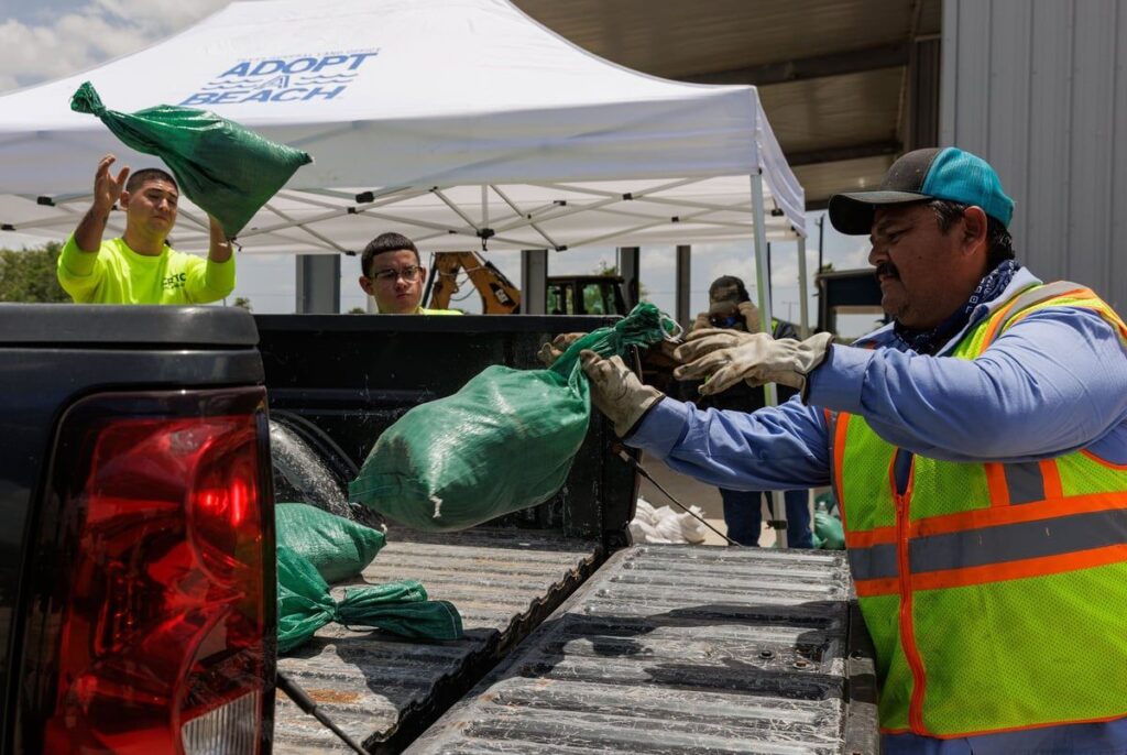
Officials in the Rio Grande Valley and Corpus Christi were distributing thousands of sandbags to help people prepare for potential flooding. But on Saturday, as confidence in the forecast increased, the worst of the damage now appeared like it could spare South Texas. National forecasters in Brownsville did not expect international reservoirs that have been alarmingly low would get any relief.
State agencies, including the Texas Commission on Environmental Quality, Texas A&M Forest Service, and the Texas Department of Public Safety are prepared to assist with rescue and recovery efforts.
For the mid-Texas coast, National Weather Service forecasters in Corpus Christi warned residents that winds could be strong enough to damage roofs and mobile homes and snap trees or blow over fences. They warned people to be prepared for power outages and cell service outages.
/https://static.texastribune.org/media/files/7aa20ec3f30c18dbc1d7bd9d31455106/0706%20Beryl%20Corpus%20PG%20TT%2007.jpg)
/https://static.texastribune.org/media/files/a6f9f7691eb45a26942011ed1dab545d/0706%20Beryl%20Corpus%20PG%20TT%2002.jpg)
First: An H-E-B grocery store in Corpus Christi area lines up pallets loaded with bottled water in anticipation of Hurricane Beryl on July 6, 2024. Last: A man secures plywood to the roof of his car at a Home Depot in Corpus Christi. Credit: Pete Garcia for The Texas Tribune
Heavy rain could begin Sunday and last through Tuesday. The National Hurricane Center predicted five to 10 inches to fall along the South Texas coastline, with up to 15 inches in some spots. Forecasters expect rainfall to result in flash and urban flooding in East Texas and along the coast.
Rip currents and high seas starting late Friday will make coastal conditions dangerous.
In the Rio Grande Valley, officials were preparing for possible flooding.
The eastern part of Hidalgo County tends to be hit the hardest during heavy rains, but the county was taking steps to mitigate flooding there, said Ricardo Saldaña, Hidalgo County’s emergency management coordinator. Officials have placed water pumps near flood-prone areas and worked with contractors to prevent flooding at drainage project sites by covering up excavation holes.
Saldaña warned residents to make their own preparations by stocking up on food and water, preparing an emergency kit, and making arrangements with friends and family to relocate if necessary.
With the hurricane’s path shifting east, the lower-Texas coast is under a tropical storm watch. Wind speeds of up to 60 miles per hour are most likely to impact the coasts of Cameron, Willacy, and Kennedy county from Sunday evening to Monday morning. The National Weather service says that flooding in the area is still possible, with the highest chance in poor drainage areas in Cameron County east of IH-69E.
Cameron County Judge Eddie Treviño, Jr. recommended that people in recreational vehicles leave county parks.
“If you don’t feel safe, evacuate,” said Tom Hushen, Cameron County’s emergency management coordinator.
If there is flooding, Hushen said they were prepared to mobilize fire trucks and ambulances to help people evacuate. But high winds could pose another threat. Winds of more than 90 miles per hour could cause those vehicles to topple over. In that scenario, county officials would have to deploy larger vehicles like dump trucks.
Hushen said any power outages would prompt the opening of emergency shelters. He also advised residents to tie down any loose items in their yards and to bring in all patio furniture because high winds could turn those objects into projectiles.
“Listen to the warnings,” Hushen advised residents. “Things could change at a moment’s notice.”
Beryl has astounded meteorologists with its strength so early in the summer. Warmer-than-normal ocean temperatures helped Beryl rapidly strengthen into a Category 4 storm in late June — becoming the first recorded Category 4 storm to form in June, according to the National Oceanic and Atmospheric Administration.
Beryl strengthened into a Category 5 and tore across the Caribbean, causing devastation in Grenada and Jamaica. It pushed onto the Yucatan Peninsula early Friday as a Category 2 storm.
“Beryl is so out of place historically given how early in the season it is and how strong it got,” said Houston-based meteorologist Matt Lanza, who helps write a blog on tropical weather called The Eyewall. “Typically you don’t see that sort of thing until August — not the end of June, beginning of July.”
Federal forecasters expect this hurricane season, which began June 1, to be a bad one. They predicted to see 17 to 25 named storms form, which was more than they had ever forecast before a season’s start. They believed four to seven of those would be Category 3 storms or stronger.
Climate change driven by people burning fossil fuels is causing oceans to warm and makes hurricanes more likely to be stronger. Scientists also say climate change may make rapid intensification of storms more likely — as happened with Beryl.
“To look at a satellite on June the 30th or July the 1st and to see a storm of Beryl’s magnitude is almost unbelievable,” said Michael Lowry, a hurricane expert for WPLG TV in Miami.
Pooja Salhotra, Terri Langford and Dante Motley contributed to this report.
Reporting in the Rio Grande Valley is supported in part by the Methodist Healthcare Ministries of South Texas, Inc.
Just in: Former U.S. Rep. Liz Cheney, R-Wyoming; U.S. Sen. John Fetterman, D-Pennsylvania; and Oklahoma Gov. Kevin Stitt will take the stage at The Texas Tribune Festival, Sept. 5–7 in downtown Austin. Buy tickets today!