FORECAST HIGHLIGHTS
- RED FLAG WARNING: High fire danger until 9 pm Sunday
- MONDAY & TUESDAY MORNING: 30s. Light freeze in Hill Country possible
- REST OF WEEK: Warming back into the 80s
FORECAST
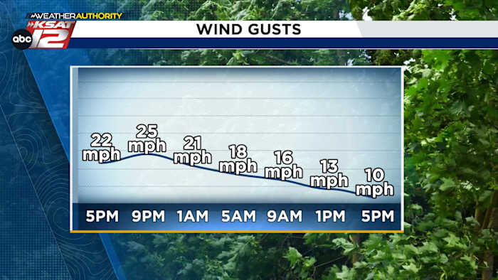
A cold front has moved through San Antonio and South Central Texas. While cooler weather is on the way, the immediate concern is the high wildfire risk today.
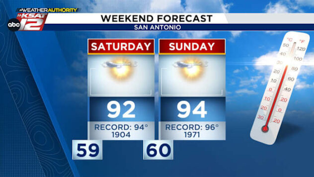
SUNDAY
A RED FLAG WARNING is in effect until 9 p.m. for most of South Central Texas, including San Antonio. Tonight, winds will calm and temperatures will plummet.

MONDAY & TUESDAY
While temperatures are expected to be cold but above freezing for San Antonio, a light freeze is possible in the Hill Country. Under complete sunshine, we’ll only warm to near 60°.

REST OF THE WEEK
We’ll gradually warm each day with highs firmly back in the 80s by Thursday.

WEATHER LINKS
- WATCH LIVE: Doppler Radar
- Hourly and 10-Day Forecast
- Download FREE KSAT Weather Authority App: Up-to-date forecast information and livestreams from trusted local meteorologists.
- KSAT Connect: Share your weather photos.