FORECAST HIGHLIGHTS
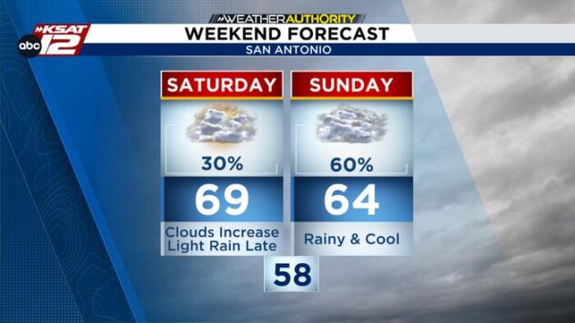
- SUNDAY EVENING: Rain coming to an end, but skies will stay cloudy to mostly cloudy.
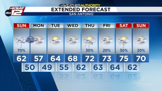
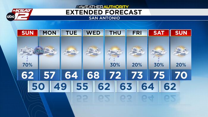
- CHILLY START TO THE WEEK: Highs temperatures largely staying under 70 degrees through Wednesday.
- LATE-WEEK RAIN: Shower chances return toward the end of the week.
FORECAST
COOL, CLOUDY REST OF YOUR SUNDAY
Rain coverage is decreasing for much of the area this afternoon. We are not expecting to see much, if any, additional activity develop through the rest of the evening hours. Mostly cloudy conditions will persist this evening. Winds will get breezier tonight with a few gusts close to 25 MPH before dawn.

Severe weather is no longer a threat to us today.
CHILLY MORNINGS
Colder air will settle across South-Central Texas to start the workweek, keeping Monday afternoon highs mainly in the 50s. Some Hill Country communities could remain in the 40s early Monday, with northerly winds adding to the chill. Rain chances will leave us for the first half of the week.
EXTENDED OUTLOOK
Temperatures will gradually rebound Wednesday through Friday, climbing closer to seasonal November averages. Conditions should remain relatively quiet through midweek, but rain chances could return by Thursday evening. The timing and coverage of any late-week showers remain uncertain, so stay tuned for forecast updates.

QUICK WEATHER LINKS
- WATCH LIVE: Doppler Radar
- Hourly and 10-Day Forecast
- Download FREE KSAT Weather Authority App: Up-to-date forecast information and livestreams from trusted local meteorologists.
- KSAT Connect: Share your weather photos.