FORECAST HIGHLIGHTS
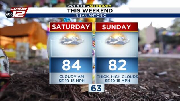
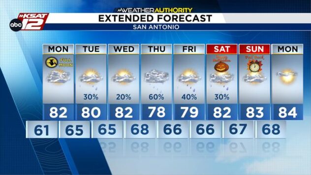
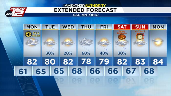
- MILD & WARM: Highs stay in the upper-70s to mid-80s through the week
- RAIN RETURNS: Scattered rain chances develop Tuesday, especially west of San Antonio
- BETTER RAIN CHANCES: Highest rain chances arrive Thursday and Friday
- HALLOWEEN OUTLOOK: Forecast confidence remains low, but rain does not look widespread or as it should last all day
FORECAST
MONDAY
Monday start with temperatures in the low 60s. You’ll feel the humidity in the morning, but it won’t be as thick as what we’ve felt in the past. Afternoon highs move to the low 80s, which is above average for this time. No rain chances are expected tomorrow.

RETURNING RAIN CHANCES
Clouds will continue to stick around Monday. If you’re lucky, you may be able to catch a quick glimpse of the October full moon Monday night. Then we’ll start our stretch of rain chances on Tuesday, with only light showers expected. The better opportunity for rain arrives Thursday and Friday as tropical moisture increases, bringing scattered showers and a few storms. While widespread heavy rain isn’t expected, late week currently offers the highest rain chances of the forecast period.

HALLOWEEN OUTLOOK
For those making outdoor Halloween plans, it’s still too early to lock in the forecast. Current trends do not indicate a washout, but forecast confidence decreases significantly beyond Friday. Residents should continue checking back for updates as details become clearer throughout the week.

QUICK WEATHER LINKS
- WATCH LIVE: Doppler Radar
- Hourly and 10-Day Forecast
- Download FREE KSAT Weather Authority App: Up-to-date forecast information and livestreams from trusted local meteorologists.
- KSAT Connect: Share your weather photos.