FORECAST HIGHLIGHTS
- HOT & HUMID: Heat index near 100°
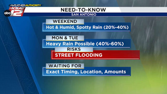
- WEEKEND: Isolated rain Saturday, scattered rain around Coastal Plains Sunday
- MONDAY-TUESDAY: Heavy rain for some, street flooding possible
FORECAST
TODAY & FRIDAY
Temperatures will rise into the lowers 90s but heat index values will peak near 100°-104° Friday afternoon. Also, a few pop up showers are possible at any moment throughout the day.
WEEKEND
A surge of deeper moisture will slowly arrive throughout the day. This will help produce isolated downpours in the afternoon hours on Saturday (30%). Temperatures return to the 90s.
Sunday, the atmosphere becomes saturated. This will allow for downpours to become more widespread (40%). These downpours will produce heavy rainfall for some.
Highest rainfall accumulations at the end of the weekend will be east of San Antonio.

MONDAY & TUESDAY
These are days we’ll be monitoring closely. By Monday, the entire atmosphere will be saturated as a weak front will shift into the area, helping to wring out some of that moisture. Widespread heavy downpours are expected (60%). This will continue into Monday night and potentially into the first half of Tuesday. Street flooding is a concern during this timeframe.

QUICK WEATHER LINKS
- WATCH LIVE: Doppler Radar
- Hourly and 10-Day Forecast
- Download FREE KSAT Weather Authority App: Up-to-date forecast information and livestreams from trusted local meteorologists.
- KSAT Connect: Share your weather photos.