More thunderstorms may be on the way to S.A. and surrounding areas
Storms could bring more hail and flooding
May 11, 2021Updated: May 11, 2021 12:53 p.m.
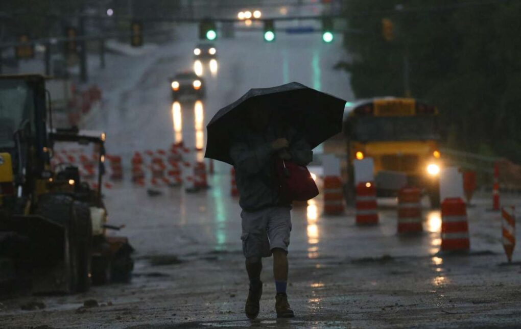
Chris Walton trudges through the rain on West Avenue near the intersection of Nakoma.
John Davenport, Staff / San Antonio Express-News
Thunderstorms may not be completely behind San Antonio and surrounding areas.
The latest update from the National Weather Service shows there is a possibility for isolated daytime showers and storms on Tuesday, May 11, ranging from a low chance to severe. San Antonio, Boerne, New Braunfels, and the Hill Country have a lower, marginal risk for severe storms.
Areas west and southwest of San Antonio, including Carrizo Springs, Eagle Pass, Del Rio, and Uvalde, have a higher chance of seeing more stormy weather. Scattered storms will mostly impact areas west of Charlotte, ranging from Hondo to Concan to Langtry between 3 and 11 p.m., per the latest NWS update.
Along with more rain, these storms could potentially bring more large-sized hail, damaging wind gusts and flash flooding to the area, though the chance for flooding is low.
Read more from Sarah