How much S.A. temperatures will drop this week from the next cold front
-
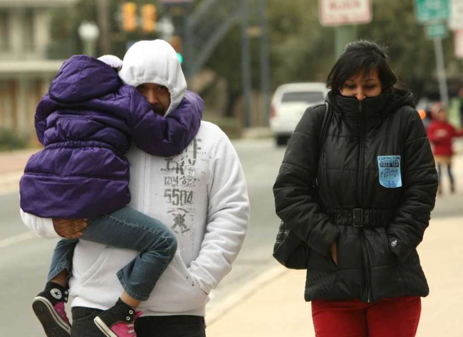
This cold front will bring low rain chances and dry air allowing San Antonio to experience pleasant afternoons with chilly mornings.
This cold front will bring low rain chances and dry air allowing San Antonio to experience pleasant afternoons with chilly mornings.
Photo: HELEN L. MONTOYA, SAN ANTONIO EXPRESS-NEWS
This cold front will bring low rain chances and dry air allowing San Antonio to experience pleasant afternoons with chilly mornings.
This cold front will bring low rain chances and dry air allowing San Antonio to experience pleasant afternoons with chilly mornings.
Photo: HELEN L. MONTOYA, SAN ANTONIO EXPRESS-NEWS
A cold front is on the way! This cold front will bring low rain chances and dry air allowing San Antonio to experience pleasant afternoons with chilly mornings.
Sunday (High 93 and Low 73) We will start off with another cloudy day but should should see the sun by the afternoon. Temperatures will be warm with highs in the 90s, however breezy with wind gusts near 15 mph.
Monday (High 75 and Low 68) The cold front will move in during the morning around daybreak and you will feel the gusty winds at 30 mph. However, if the front moves faster on Sunday night then our morning lows will be much cooler. Currently the high temps will stay comfortably in the 70s.
Tuesday (High 78 and Low 58) Here’s where you will need to grab a jacket if you plan to be out for that morning run, because temperatures will start out in the chilly 50s. However, afternoon temperatures will warm by at least 20 degrees.
Wednesday (High 85 and Low 59) The temperatures will start to feel warmer by about 6 degrees in the afternoon. Luckily the morning will be another chilly start for a light jacket. There will also be plenty of sunshine to enjoy with light winds.
As of right now this comfortable weather looks to stay through next week with no big rain makers on the horizon. Enjoy!
Teresa Velasco is a digital producer for mySA and the San Antonio Express-News. She has a bachelor’s degree in broadcast meteorology. She uses data provided by the National Center for Atmospheric Research, the National Oceanic and Atmospheric Administration and others for her forecasts.